F I R S T P R E V
 948
948 NEXT
NEXT LAST
LAST


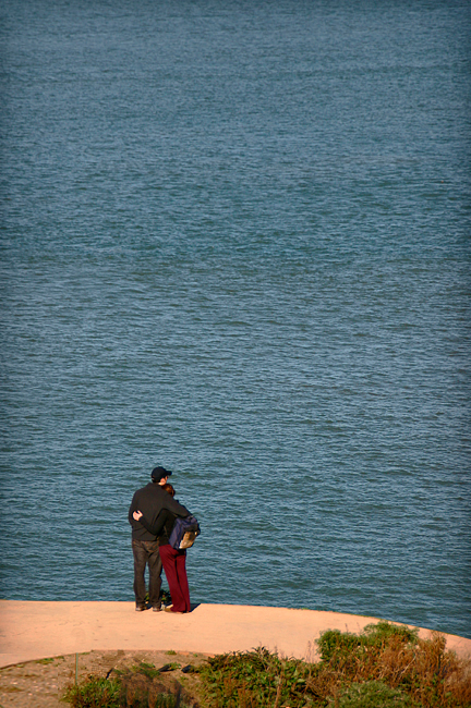
Looking Outward from San Francisco
It's good to know your boundaries. In the peninsula city of San Francisco they might seem obvious but the city's boundaries have changed six times since they were first set down by Mariano Guadalupe Vallejo in 1834. Today the western boundary extends three miles offshore of Point Lobos. However, the Farallon Islands, twenty miles offshore, are officially part of the city of San Francisco.
The eastern boundary is a line 2,500 feet east of the summit of Yerba Buena Island, meaning that Alcatraz Island, Treasure Island, and Yerba Buena Island are all within San Francisco city limits. The northern boundary runs in a northeastern line, tangent to Point Cavallo in the Marin Headlands and the southern-most point of Angel Island.
The southern boundary is the trickiest and historically most often changed. Currently, San Francisco's southern boundary follows 37° 42' 30" North Latitude. Which, in case you don't have a sextant handly, enters from the Pacific in the middle of the Oympic Country Club. Continuing east, it passes about 500 feet south of Lake Merced, through the San Francisco Golf Club, then just north of the Cow Palace. Finally it continues through the southern tip of Candlestick Point and on out into the Bay.
[
MAP G-3 ]