F I R S T P R E V441NEXTLAST

San Francisco Bay Model, Sausalito
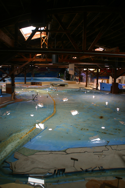
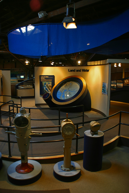
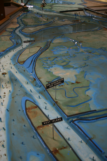
The San Francisco Bay Model was built in 1957 by the U.S. Army Corps of Engineers to test proposed changes to the Bay and its related waterways. Hydraulic motion simulates currents, tides, oil spills, salt-water intrusion, and land fills. The model covers a number of connected warehouses on Sausalito's waterfront. The scale of the model which also includes the San Pablo, Suisun, and South Bays, as well as the Sacramento-San Joaquin Delta is 1:1000. In 2000 the research department of the model was closed and turned over to computer modeling but the Bay Model continues to operate as a public education center.
[
MAP K-10 ]